AVIS Project Update: Second pilot on the Danube complted! Discover results here!
AVIS
Automated Vessels on European Inland WaterwayS
Welcome to AVIS, an ambitious European project set to redefine how vessels navigate inland waterways. Under the authority of the European Commission's DG MOVE and led by the multinational technology company GMV, AVIS unites experts, waterway authorities and innovators from across Europe with one shared goal:
To safely enable navigation on Europe's inland waterways using the full power of space technologies
From the Rhine to the Danube and Guadalquivir, AVIS explores how Galileo, EGNOS and Copernicus can elevate safety environmental performance, efficiency and digitalization, all with supporting Europe's Green Deal and NAIADES III ambitions.


Our Vision
Inland waterways represent one of Europe's cleanest transport modes. But, to unlock their full potential, vessels must become smarter, safer, and more automated.
AVIS aims to deliver that leap forward.
We aim to create a navigation ecosystem where:
Vessels know their position with centimetre-level precision
River conditions are assessed continuously using Earth Observation intelligence
Navigation systems predict risks and share trajectories
Onboard and onshore systems work seamlessly together
Operators gain confidence in automation through transparency, reliability and trustable safety cases.
Automation is not about removing humans, it's about empowering them with better tools. AVIS prepares the ground for a future where automated inland vessels navigate confidently alongside traditional traffic, under harmonized European standards.
WHAT AVIS DOES
AVIS is structured around a sequence of technical, analytical and validation activities, designed to answer a central question:
How can European space technologies improve the safety, efficiency and viability of automated inland navigation?
To answer this, the project conducts seven major lines of work:
1.
Understanding inland navigation today
AVIS studies how Galileo, EGNOS and Copernicus can contribute to vessel monitoring, integrity monitoring, river environment monitoring, object detection, safety-of-navigation alerts and route planning.
2.
Identifying user needs & requirements for automation
Through interviews, surveys, workshops and consultation rounds with skippers, waterway administrations, technology providers, classification societies, port authorities and training institutions, we define what is needed to support automated or assisted navigation.
AVIS maps real operational scenarios: from bridge passages and lock manoeuvres to congested river sections and narrow channels, and identifies the electronic tools currently used by skippers and authorities.
3.
Analyzing the potential of EU Space Data
The project designs and implements a research prototype combining onboard and onshore elements. This is not a commercial system but a testbed to evaluate feasibility and collect for scientific analysis
4.
Developing a prototype architecture
5.
Building a safety case for automated inland navigation
AVIS develops the first multi-layer safety framework, bringing together waterway characteristics, vessel behaviour, environmental conditions, positioning integrity & resilience, risk classification and fairway width estimation. This safety case strongly supports future regulations and operational guidelines.
6.
Running four real-world pilot demonstrations
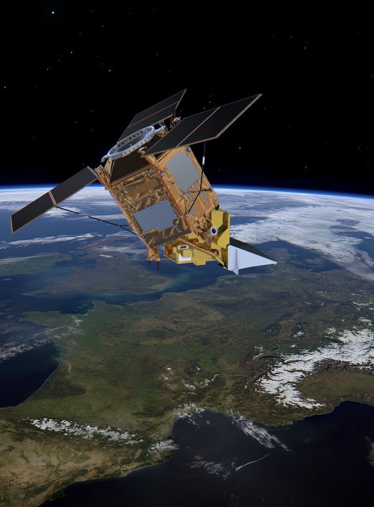
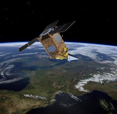
The prototype is installed on research or authority vessels navigating the Guadalquivir (Spain), the Lower Danube (Romania), the Rhine (Germany) and the Middle Danube (Hungary). Data is collected on vessel behaviour, accuracy, alerts, usability and operational impact.
7.
Contributing to European standardization
AVIS provides technical input to CESNI working groups, supporting future standards for automated inland navigation, PNT data provision, inland-MSR receivers and digital RIS services. The system outputs will help shape tomorrow's regulatory and technical ecosystem.
HOW AVIS USES SPACE DATA
Space technologies are the heart of AVIS project. Automated or semi-automated navigation depends not only on what happens onboard a vessel, but also on highly accurate and trustworthy information coming from above, from satellites that observe the Earth or provide precise positioning.
AVIS studies how Europe's own space programmes, Galileo, EGNOS and Copernicus, can directly support safer and more efficient inland waterway navigation. These systems deliver data that improves vessel positioning, monitors the river environment, enhances situational awareness and strengthens the reliability of navigation assistance tools.
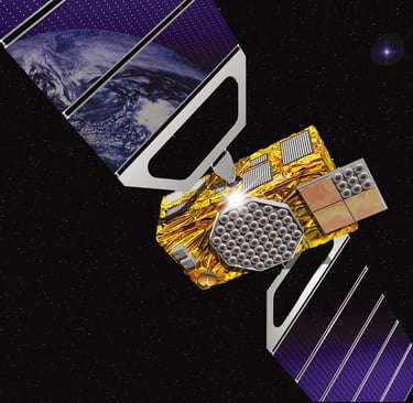
Galileo
Galileo is the European Union's Global Navigation Satellite System (GNSS), Europe's answer to GPS.
It provides high-accuracy positioning, multi-frequency signals, robustness against interference and the unique OSNMA authentication service, which verifies that navigation messages are genuine.
Galileo was designed to support critical applications where accuracy and trust matter, including transport, safety and automation.
How AVIS uses Galileo
AVIS relies on Galileo to explore how automated inland navigation can safely function in real environments. Specifically

High-precision vessel positioning
Galileo's multi-frequency signals support more accurate and stable positioning, essential for navigating narrow fairways, passing bridges, aligning with lock entrances and following TGAIN track guidance.
Reliable heading determination
Using dual-antenna setups, AVIS calculates vessel heading with high precision, improving autopilot performance and safety manoeuvring.
Reliable heading determination
Using dual-antenna setups, AVIS calculates vessel heading with high precision, improving autopilot performance and safety manoeuvring.
Protection against threats (OSNMA)
AVIS tests how Galileo's authentication service can detect manipulated signals, warn spoofing and jamming attacks and strengthen trust in navigation automation.
Learn more about what is Galileo or the service Galileo offers.
Copernicus
Copernicus is the European Union's Earth Observation programme.
It uses satellites and in-situ sensors to monitor the planet, including water, land, atmosphere, climate and natural disasters.
For inland waterways, Copernicus provides environmental imagery, hydrological data, terrain and waterbody analytics and flood risk information.
How AVIS uses Copernicus
AVIS transforms Copernicus data into navigation-relevant environmental intelligence, supporting both skippers and automated systems, including:
River edge detection
Copernicus imagery helps detect river narrowing, shifts in riverbanks or potential erosion zones. These can impact safe passage, overtaking or manoeuvring.
River depth estimation
AVIS uses satellite products to estimate areas of potential shallow water, supporting under-keel safety, water level assessment and dynamic ENC updates.
Object detection
Copernicus contributes to identifying floating objects, large debris or non-cooperative vessels. This enhances collision-avoidance modelling.
Water speed & flow
Copernicus-derived flow characteristics support to TGAIN steering predictions, drift assessments and hydrodynamic safety modelling.
Flood forecasting
Forecast layers help AVIS to anticipate water level surges, bank overflow risk or hazardous navigation conditions.
Learn more about what is Copernicus or the service Copernicus offers.
WHO IS BEHIND AVIS
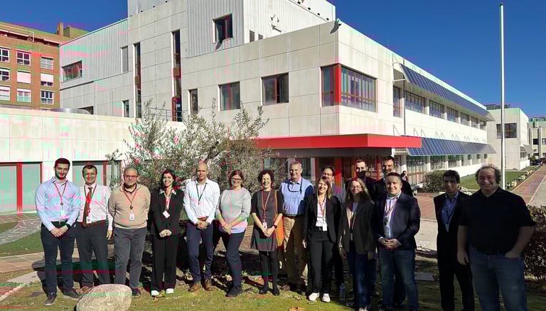
AVIS is powered by an pan-European, multidisciplinary consortium that brings together the organisations best positioned to explore the future of automated inland navigation.
The project unites waterway authorities, satellite navigation experts, safety specialists, engineering firms and outreach experts, all working collaboratively across borders.
AVIS PROJECT TIMELINE
AVIS Project Kick-off: January 2024
Q1: January - April 2024:
Kick-off and advisory board setup
Mapping of navigation operations
Start of user needs collection
Q2: May - August 2024:
Detailed operational analysis
First user requirements
Early reviews of GNSS & Copernicus potential
Q3: September- December 2024:
Sensor fusion concept
Initial Safety Case structure
Early standardisation inputs
Intermediate Report 1 & Workshop 1
Q4: January - April 2025:
GNSS & Copernicus alert requirements
Safety Case development
Early prototype architecture
Pilot site assessments
Q5: May - August 2025:
Prototype Set Release 1
Pilot Plan & KPI definitions
Challenge & barrier consolidation
User Consultations
Q6: September - December 2025:
Pilot logistics & preparation
Copernicus processing chain setup
Intermediate Report 2 & Workshop 2
Standardisation updates
Q7: January - April 2026:
Prototype Equipment Set Release 2
Installation & pre‑pilot validation
Standard Draft Issue 2
Guadalquivir Pilot – March 2026
Q8: May - August 2026:
Lower Danube Pilot – May 2026
KPI measurements (EGNSS, Copernicus, behaviour metrics)
Operational feedback
Workshop 3
Q9: September - December 2026:
Rhine Pilot – September 2026
Middle Danube Pilot – October 2026
Prototype Release 3
Final Safety Case integration
Standard Draft Issue 3
Start of Final Report
Q10: January 2027:
Draft Final Report
Final event & dissemination
Project closure
AVIS Project Closure: January 2027
The AVIS timeline traces the project’s journey from initial studies in 2024 to prototype implementation, Europe‑wide pilots in 2026, and final results in early 2027.
WHERE DOES AVIS STAND
Early 2026 - Momentum is building
AVIS has moved from vision to reality. After two years of intense work across Europe, the project has built a solid technical and operational foundation, and is now gearing up for the most exciting stage: real-word pilot demonstrations.
✔ What we’ve already achieved:
We mapped the full landscape of inland navigation operations and their technical needs;
We completed four rounds of user consultations, gathering insights from skippers, authorities, industry and experts.
We delivered Intermediate Reports 1&2, documenting major milestones.
We established the initial Safety Case, defining how automated navigation can be made safe.
We designed the AVIS prototype and completed its second implementation.
We selected all pilot sites and identified the vessels navigating each waterway.
We produced the first two standardization drafts, feeding directly into CESNI work.
We engaged widely with the ecosystem through workshops, interviews, and technical exchanges.
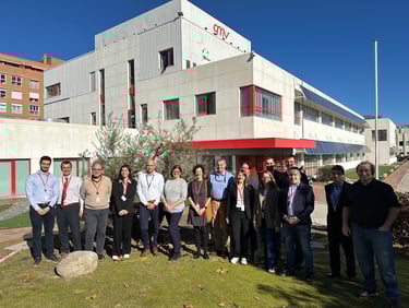
Workshops 1 and 2 successfully brought the community together around AVIS goals.
🚀 What comes next:
Deploy and install prototype components on the four pilot vessels.
Launch the European pilot campaign (March-October 2026) across the Guadalquivir, the Danube and the Rhine.
Collect and analyze extensive KPIs dataset, about positioning accuracy, alerts, safety behaviour and environmental intelligence.
Strengthen and finalize the Safety Case with real operational evidence.
Shape final technical recommendations for future systems and regulations.
Deliver the final standardization draft supporting EU-wide harmonization.
Prepare the Final Report and bring the community together the closing event.